

NASA’s Landsat 7 Satellite
I set out to create a 3D model of this satellite but ran into a challenge: it was launched in 1999, and only about five photos of it exist (publicly). None showing it fully assembled.
While NASA has a 2010 3D model (https://nasa3d.arc.nasa.gov/detail/landsat-7), it is quite simple and looks like it was made for 3D printing, as opposed to Visualization. So I figured it would be fun to take it upon myself to try and give some love to the satellite that gives us google maps.
The model I created can be viewed on Sketchfab Here:
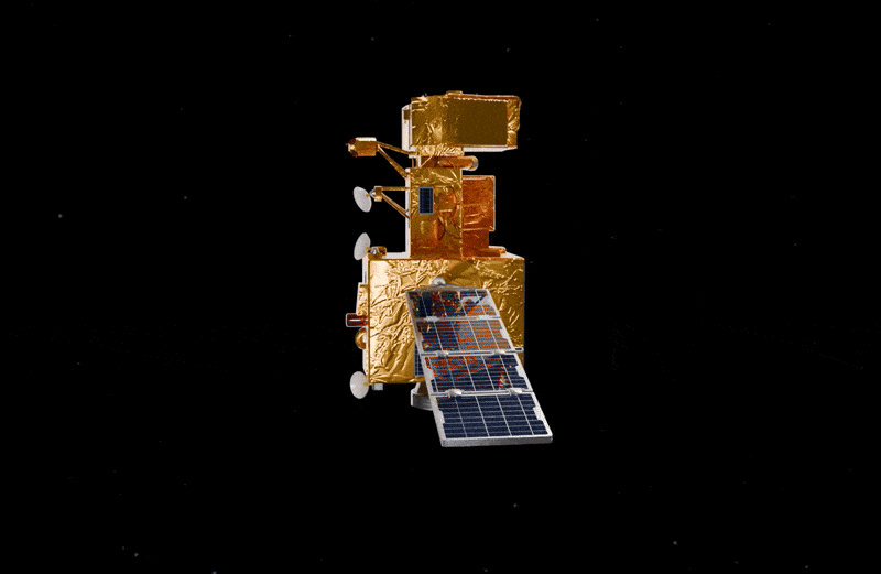
Final Render 1

Final Render 2
Turntable Gif
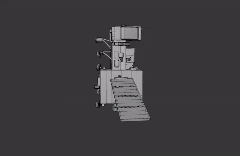
Turntable gif (wireframe)

Reference Image
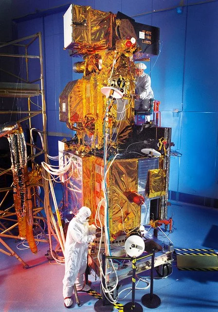
Reference Image